Lakewood On Flood Warning - Then It Gets Cold - PHOTOS/VIDEOS
Posted: Wed Jan 23, 2019 6:14 pm
Check out over 100 photos of the ice from Winter Storm Harper here: http://lakewoodobserver.com/photoblogs/ ... -dump-2019
Just before dark I walked down into the Emerald Canyon checking for flooding.
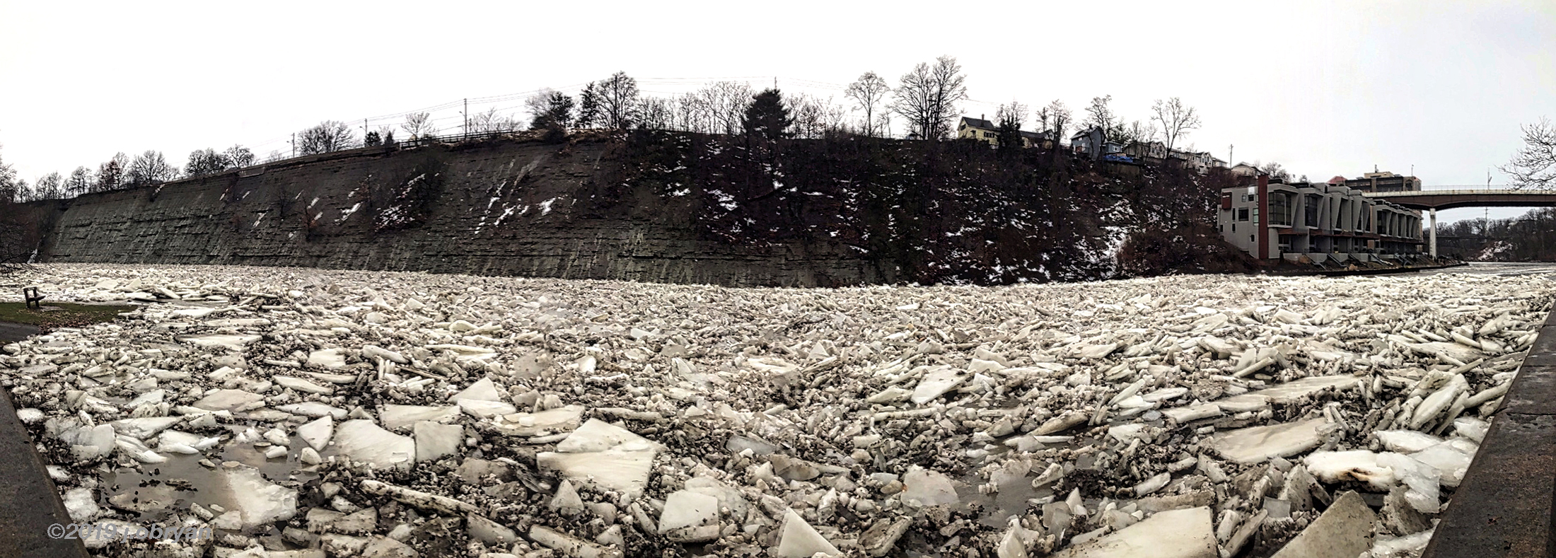
With the warmer temperatures, and the rain, we know it causes flooding. Most of the residents of Lakewood scoff at the idea of a flood. Maybe from sewers, downspouts, broken pipe. Lakewood sits on top of a tall cliff surrounded by a river and a lake hundreds of feet below. Flooding, no way. However there is about 35 homes in Lakewood and maybe as many in Rocky River that worry every time the river floods. With the steep cliffs of a canyon, the water rises quickly and sometimes without warning.
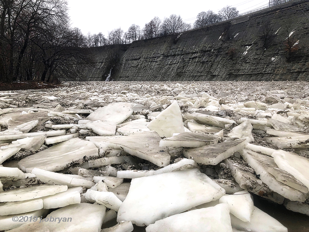
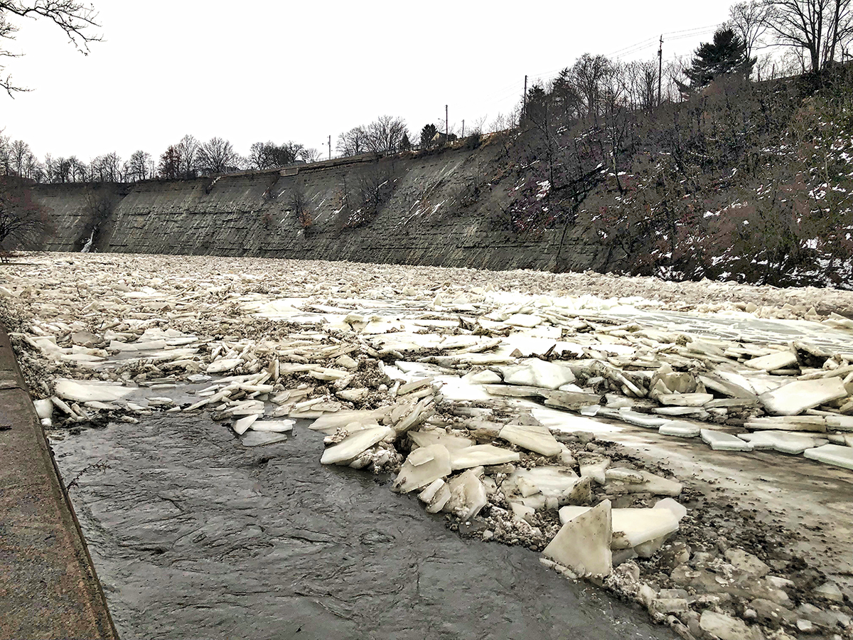
The first thing you might notice is how thin the ice is. Only 3-4" not the typical 8" or the 22" thickness we photographed when Settler's Landing was wiped clean in the flood about a decade ago.
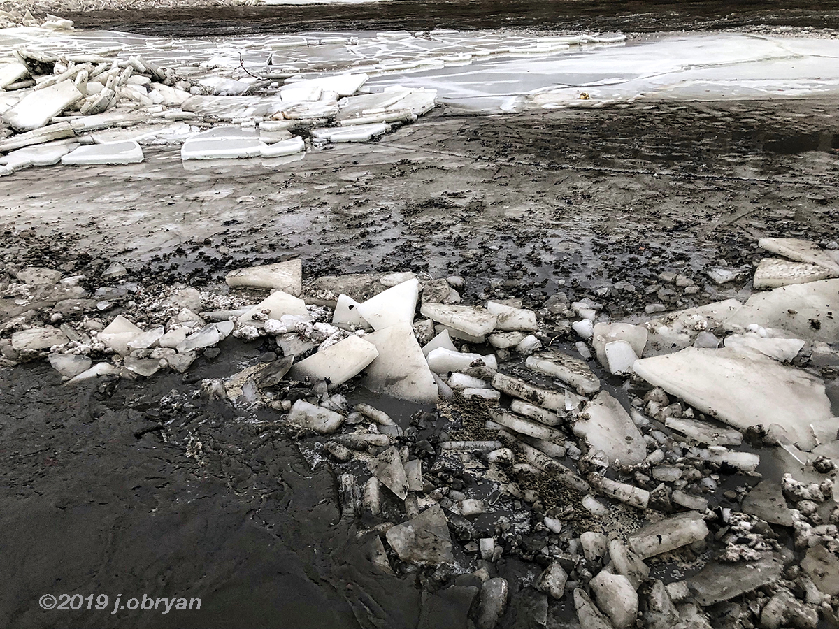
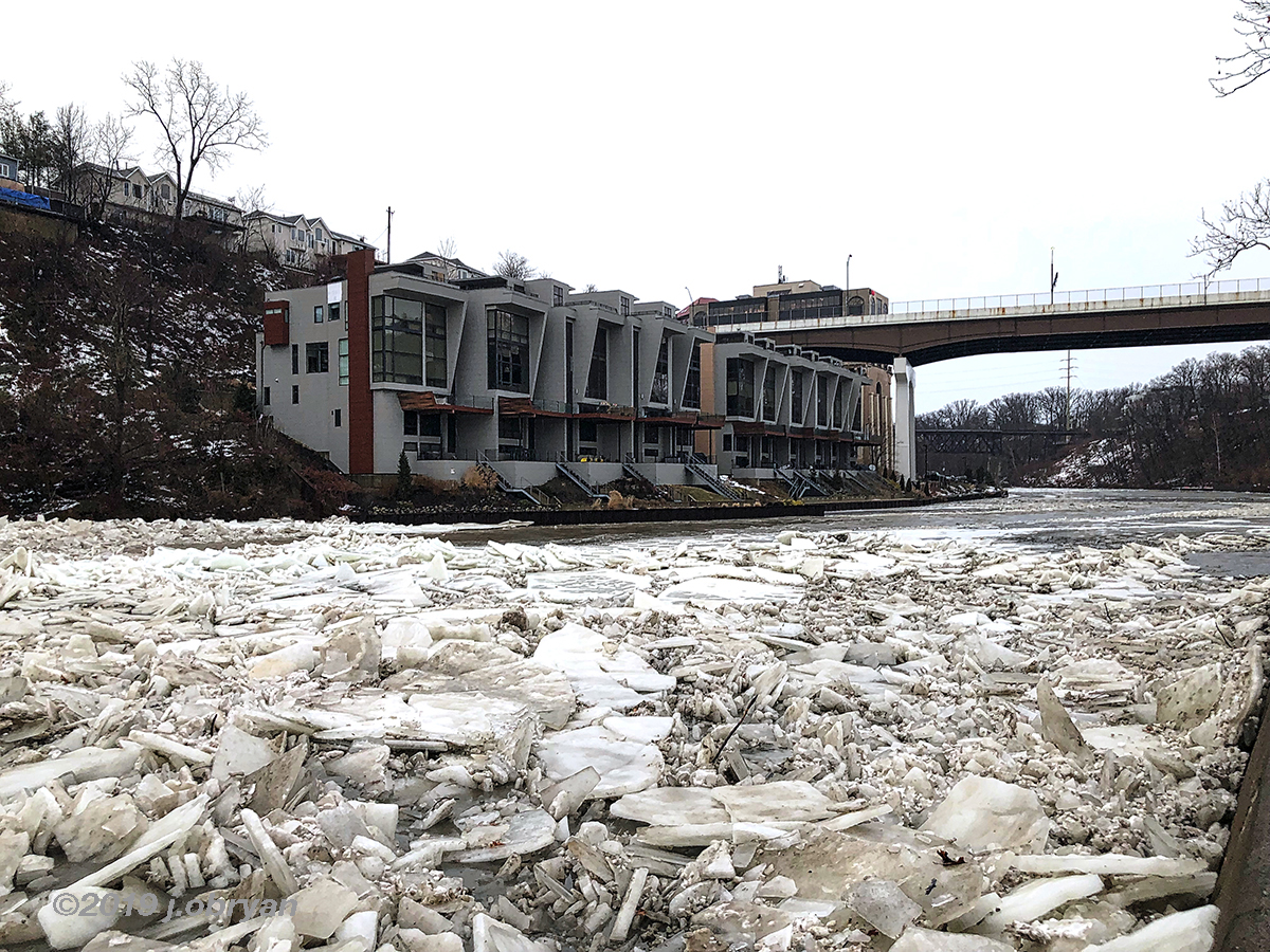
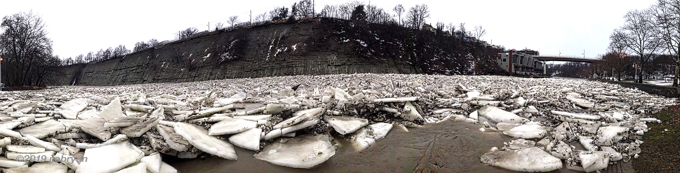
Water is finding away around and through the ice pack. This is a good thing. No problems until it starts to dam. This comes from and ice build up. The mouth of Rocky River is the widest part of the river, but it is shallow. Ice damns quickly at the first bend, the docks, the train bridge, and the mouth of the river. Many years there are multiple damns. If you look at this ice, it carries a lot of rock and stones. This makes it extra destructive.
Now here is the potential nightmare. The temperature drops and freezes the river before this ice damn breaks up. If it rains and freezes as it is supposed to do, this ice dam will turn into one massive chunk of ice, and the buildup could be massive.
You can see another ice damn under the train bridge way down river.
Tonight the flood will happen if the ice damn holds. Temps fall around midnight.
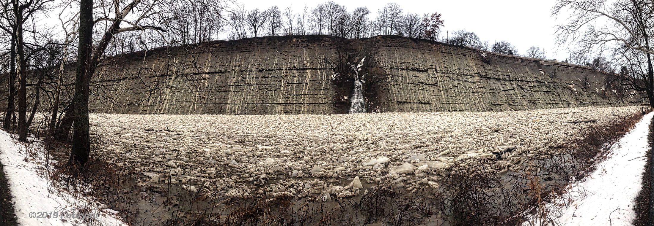
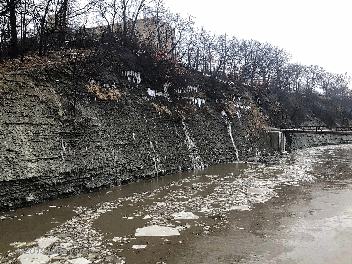
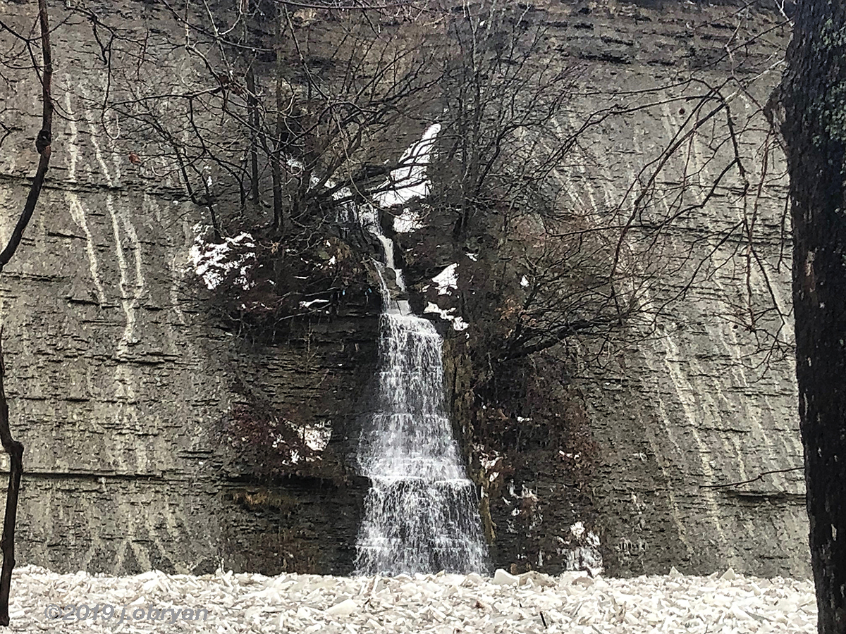
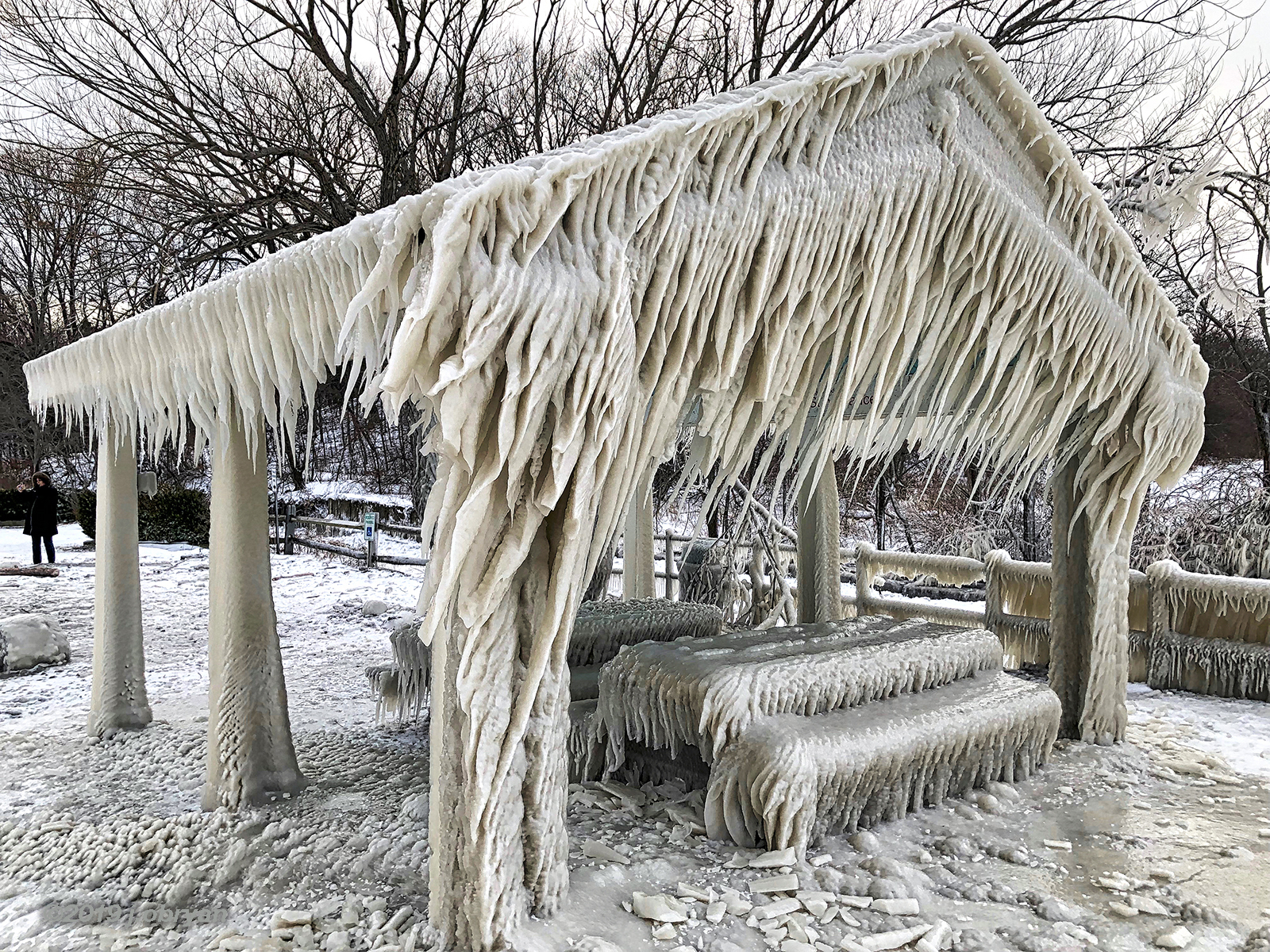
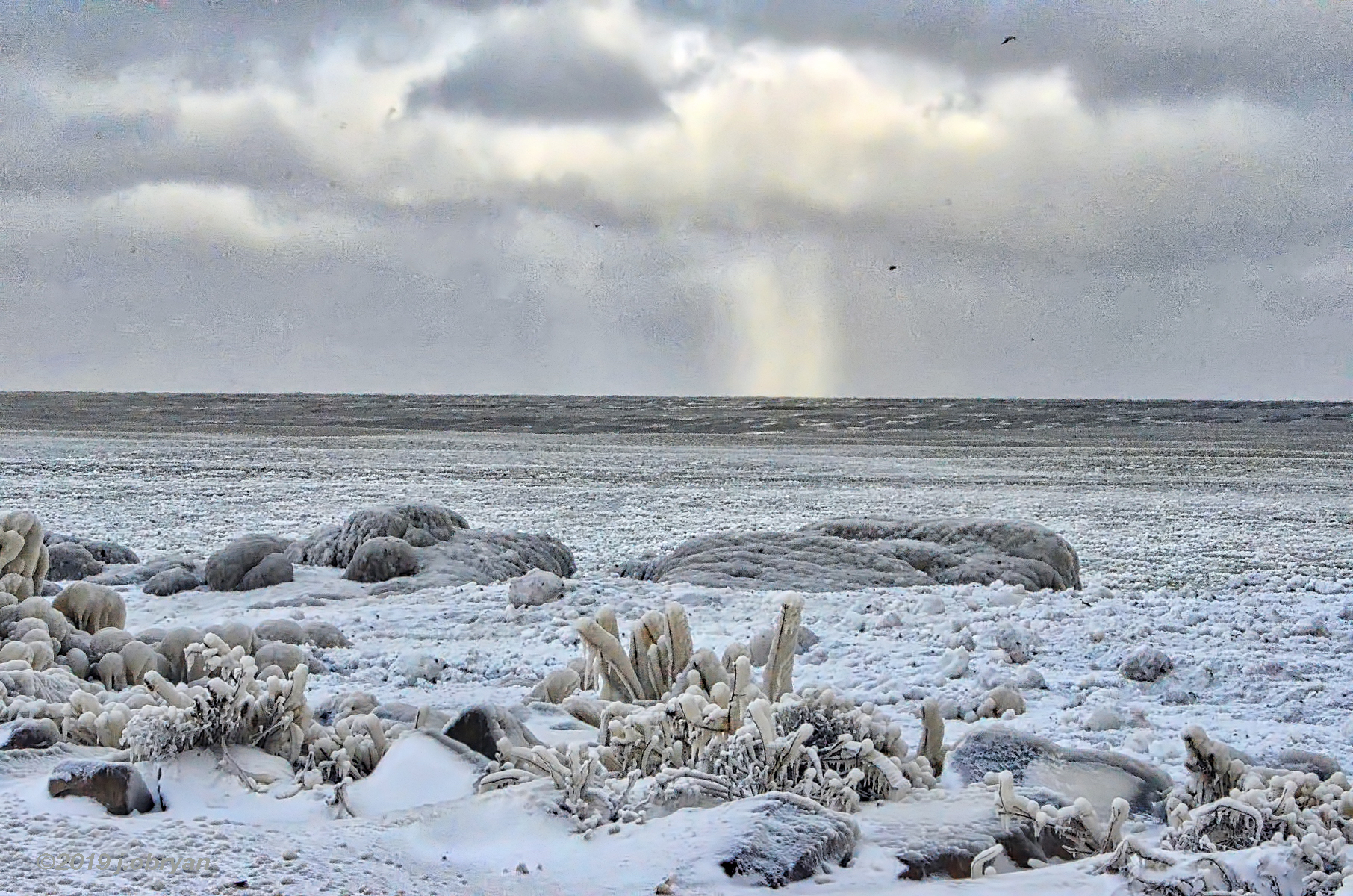
Waterfalls all along the cliffs. Hmmmmmmm
 [/img]
You can see it building quickly at the first bend.
Up river ice keeps coming.
Back to our ZEN moment for the day...
Check out over 100 photos of the ice from Winter Storm Harper here: http://lakewoodobserver.com/photoblogs/ ... -dump-2019
.
Just before dark I walked down into the Emerald Canyon checking for flooding.
With the warmer temperatures, and the rain, we know it causes flooding. Most of the residents of Lakewood scoff at the idea of a flood. Maybe from sewers, downspouts, broken pipe. Lakewood sits on top of a tall cliff surrounded by a river and a lake hundreds of feet below. Flooding, no way. However there is about 35 homes in Lakewood and maybe as many in Rocky River that worry every time the river floods. With the steep cliffs of a canyon, the water rises quickly and sometimes without warning.
The first thing you might notice is how thin the ice is. Only 3-4" not the typical 8" or the 22" thickness we photographed when Settler's Landing was wiped clean in the flood about a decade ago.
Water is finding away around and through the ice pack. This is a good thing. No problems until it starts to dam. This comes from and ice build up. The mouth of Rocky River is the widest part of the river, but it is shallow. Ice damns quickly at the first bend, the docks, the train bridge, and the mouth of the river. Many years there are multiple damns. If you look at this ice, it carries a lot of rock and stones. This makes it extra destructive.
Now here is the potential nightmare. The temperature drops and freezes the river before this ice damn breaks up. If it rains and freezes as it is supposed to do, this ice dam will turn into one massive chunk of ice, and the buildup could be massive.
You can see another ice damn under the train bridge way down river.
Tonight the flood will happen if the ice damn holds. Temps fall around midnight.
Waterfalls all along the cliffs. Hmmmmmmm
[/img]You can see it building quickly at the first bend.
Up river ice keeps coming.
Back to our ZEN moment for the day...
Check out over 100 photos of the ice from Winter Storm Harper here: http://lakewoodobserver.com/photoblogs/ ... -dump-2019
.
